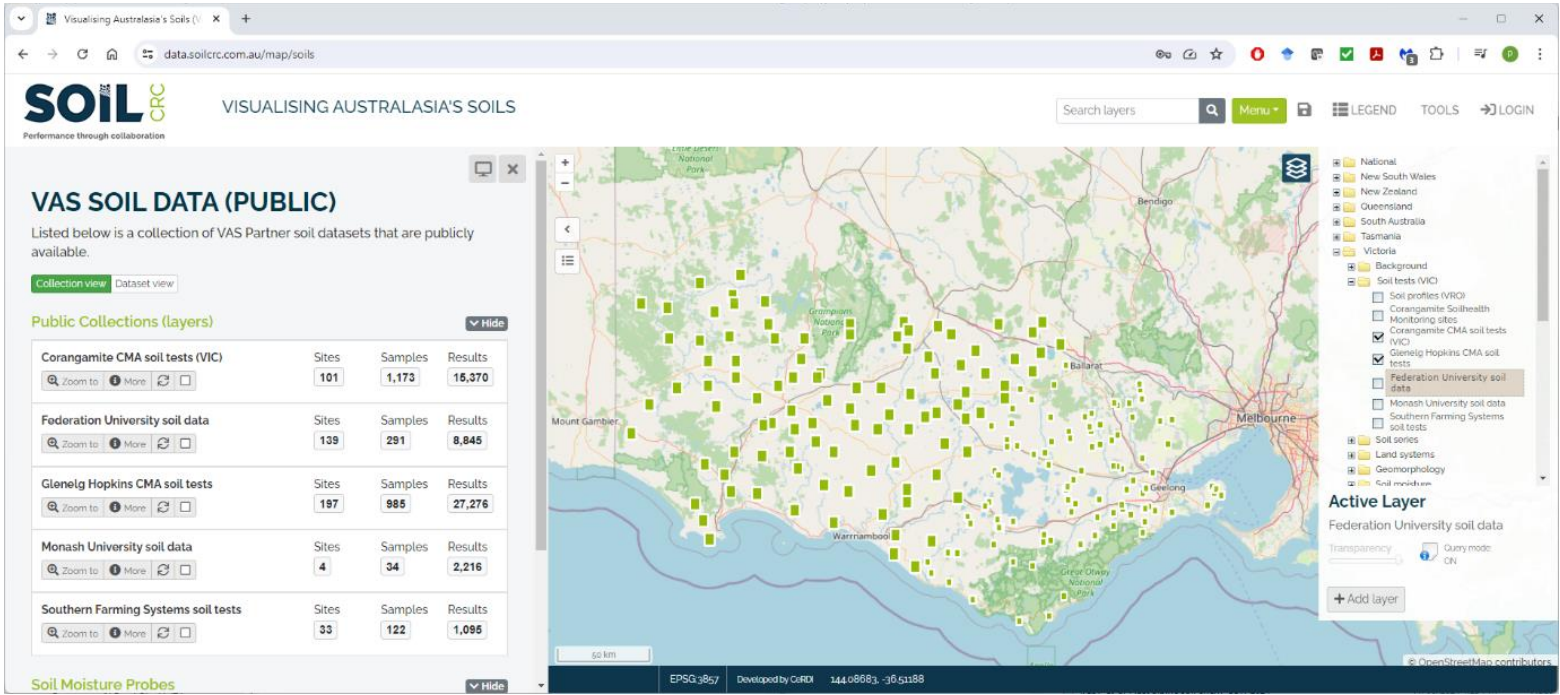
Soil-health data from the Corangamite and Glenelg Hopkins CMAs and other partners are federated into VAS. The datasets include over 200 monitoring sites sampled at set depths since 2015. For privacy, locations are randomised while still enabling users to chart soil-property trends and compare repeated observations through the VAS portal. | ||
|
| |
![]()
![]()
02 4921 5473
enquiries@soilcrc.com.au
CRC for High Performance Soils
Level 1, IDC Building
University of Newcastle
University Drive
Callaghan NSW 2308
Australia
![]()
03 5327 9314
cerdi.admin@federation.edu.au
Suite 15, Greenhill Enterprise Centre
Ballarat Technology Park
University Drive, Mount Helen