About the Visualising Australasia's Soils project
Visualising Australasia’s Soils (VAS) is a flagship project of the Soil CRC. It commenced in 2019 and aims to provide access to quality soil data from across Australia and New Zealand, via an online portal.
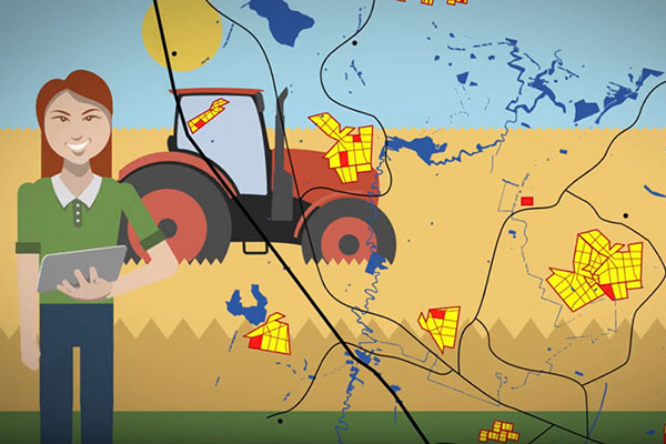
The overall aim of the research project is to create a soil research data federation, based on agreed data stewardship and governance frameworks, that allows Australasian soils data from the private and public sectors to be discoverable to Soil CRC participants through an intuitive-to-use internet portal.
The intention is to:
Motivate Australian soils data custodians to make their data Findable, Accessible, Interoperable and Reusable (FAIR), by providing a range of benefits for research, on-farm decision making and policy development.
Align with other soil data initiatives to maximise soil data discovery and re-use through the FAIR framework. This could be at the local, national or international level.
Co-develop and implement an enduring Australasian soils knowledge system that is based on principles of data democracy, is self-sustaining, and inherently useful for research and education.
Partners
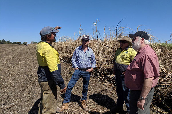
VAS is supported by the Soil CRC. CeRDI at Federation University leads the VAS project in collaboration with project partners from Australia and New Zealand.
Videos
To find out more about the VAS project watch the VAS videos
Documents
To find out more about the VAS project read the VAS documents
What makes the VAS project unique and challenging is that it attempts to seamlessly and interoperably bring together soil data from both the public and private sectors while allowing data custodians to retain their ownership and control over how and what data is shared. Once a project partner is logged in to the system they can upload and manage their data via a self-service system, and have access to a suite of tools to help find, manipulate, report and share their soil data if they choose to.
Having access to all the available data improves on-farm decision making through providing independent evidential data on long-term trends, benchmarking, and soil performance, for example. For researchers, it provides the opportunity to find large soil data sets, including legacy data, on which to undertake their research. All the soil data is seamlessly mapped to international data standards to transform it into FAIR (findable, accessible, interoperable, reusable) data.
To find out more about the VAS project, check out the following resources:
Fact Sheet - Soil CRC-VAS project fact sheet
Data portal - VAS data portal with spatial mapping: https://data.soilcrc.com.au
