Resources and user guides
The following resources and user guides are provided for the Visualising Australasia's Soils project.
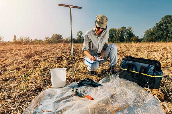
About the project
Visualising Australasia’s Soils (VAS) is a flagship project of the Soil CRC
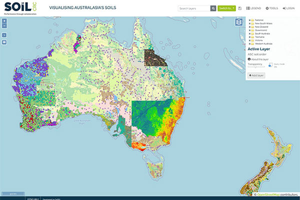
About the data
The soil data in the VAS is made up of both public and private data
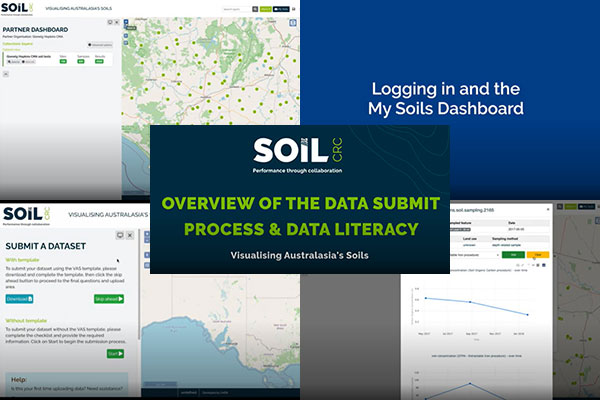
User guides
Help and frequently asked questions are accessible by clicking the link in the Hints and Information section of the menu
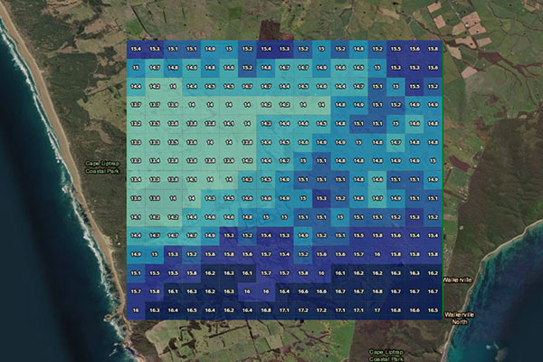
Radar rainfall demonstrator
Based on the Bureau of Meteorology weather Radar network and its derived Rainfields3 data, this tool visualises historical rainfall information for a selected area and timespan at 500m resolution
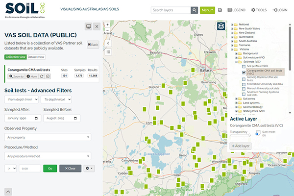
Public datasets
Information about the public datasets available through the VAS data portal
